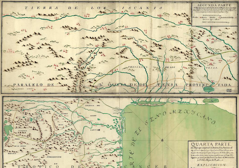
Joseph Ramón de Urrutia y de las Casas 1769
 Full Map Section
Mapa, que comprende la Frontera, de los Dominios del Rey, |
|
Captain Urrutia accompanied the Rubí expedition to northern New Spain as a cartographer of the Royal Regiment of America in 1764. The Rubí expedition set out strengthen the holdings of New Spain by inspecting the many Spanish presidios of the region. This map is is often erroneously credited to Rubí 's engineer, Nicolás de LaFora. Urrutia's map is based on the findings of the Rubí expedition and on the previously published maps by Francisco Álvarez Barreiro. Los Adaes is shown at the easternmost reaches of the map along with several of the larger ranches associated with Los Adaes. |
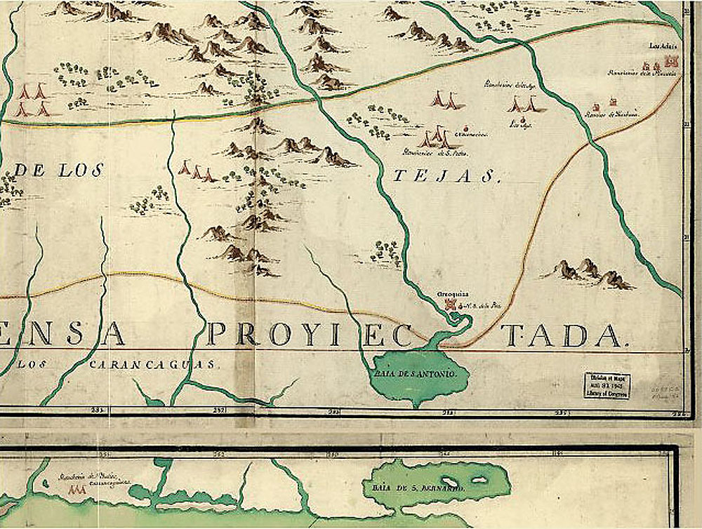 Map Detail |
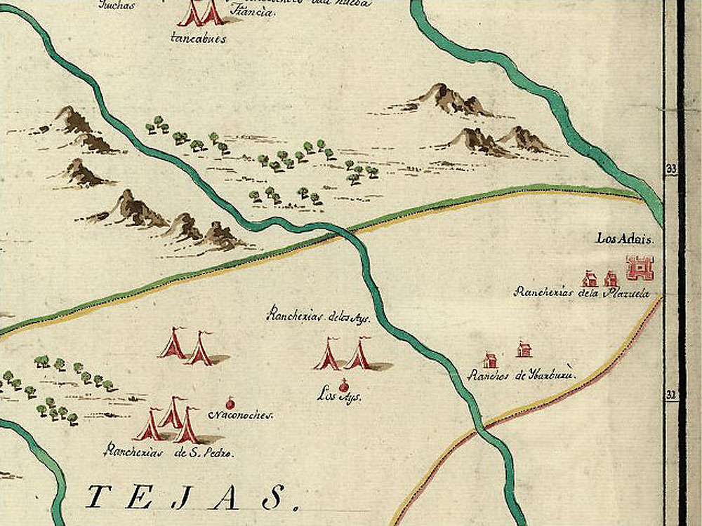 Map Detail 2X |
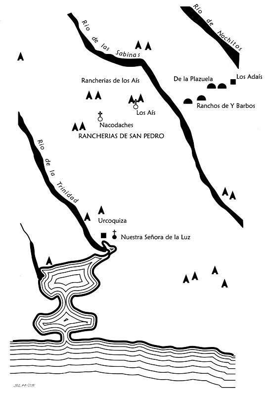 Redrawn Map Detail |