Thomas Jefferys 1776
 Full Map Section
The American Atlas |
|
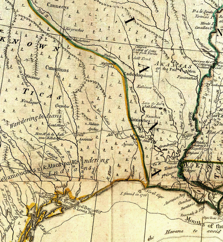
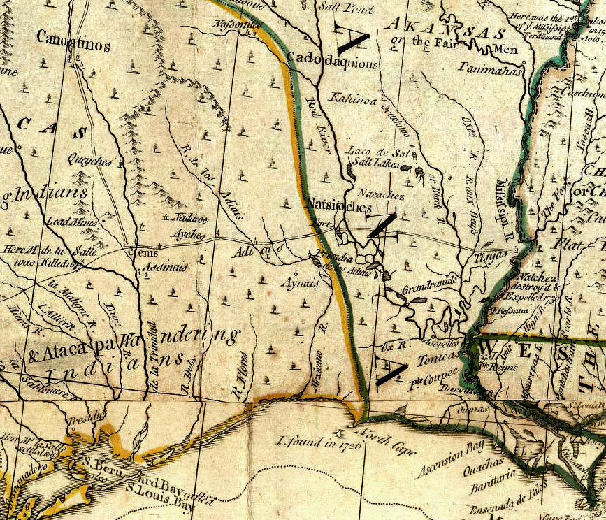
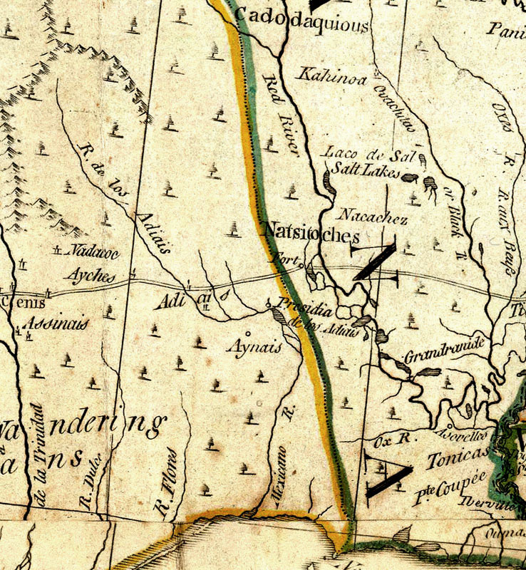
British cartographer and publisher Thomas Jefferys produced maps documenting regions from all over the world, and is renown for his maps of North America. Most of what the British knew about New Spain came from maps, charts, and sketches captured from Spanish warships by the British Armada. This 1776 map reflects the inevitable geographic knowledge and publishing time lag of the day. Presidio Los Adaes is depicted even though it had been abandoned three years before the map was published, five years after Jefferys' death in 1771. |
 Map Detail |
 Map Detail 2X |