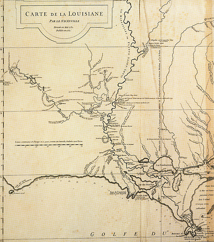
Jean Baptiste Bourguignon d'Anville 1732
 Full Map Section
Carte de la Louisiane |
|
Originally drawn in 1732, this famous map is one of the earliest detailed and fairly accurate depictions of French colonial settlements in Louisiana. As a French map, it is not surprising to see that the Spanish presidio is placed on the edge of the map, just beyond the inner border of the map and just outside the French world. This version was published in 1752—d'Anville's map was reprinted many times. In 1773, d'Anville was appointed as the first Royal Geographer to the king of France. |
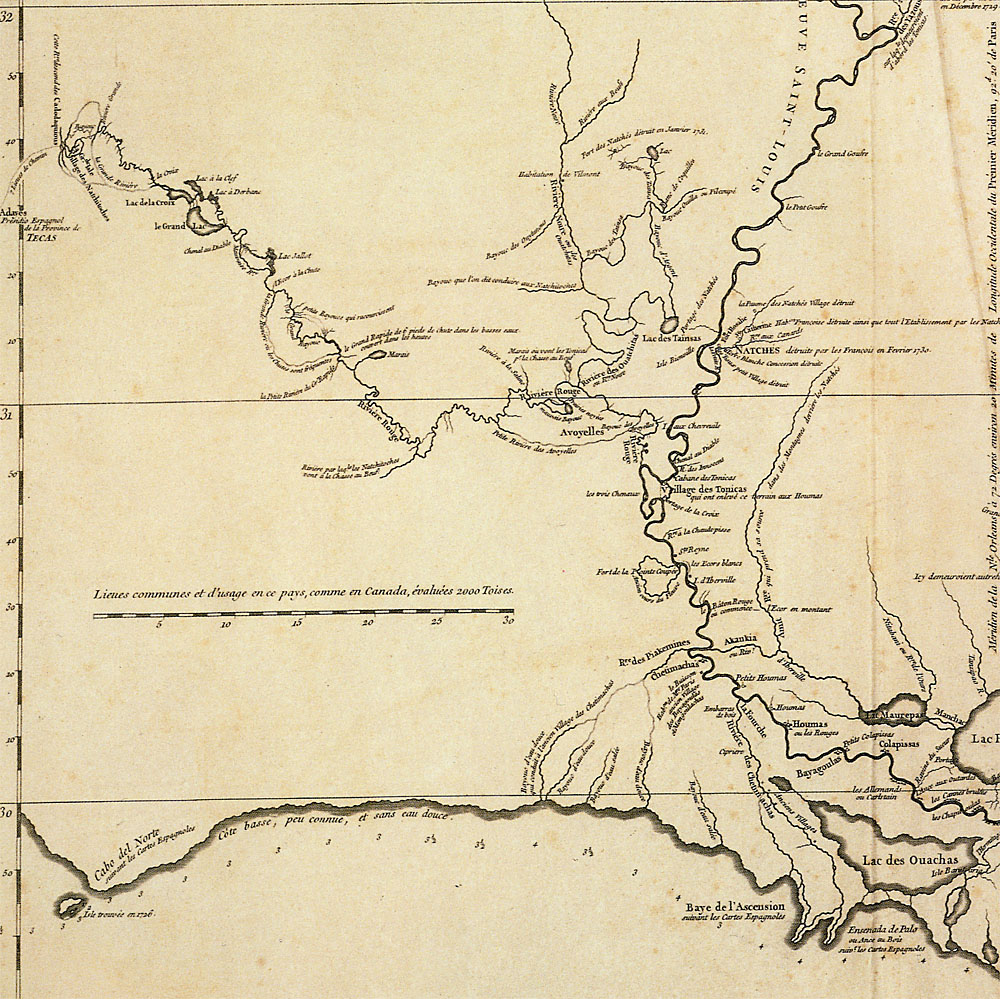 Map Detail |
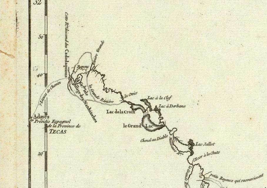 Map Detail 2X |