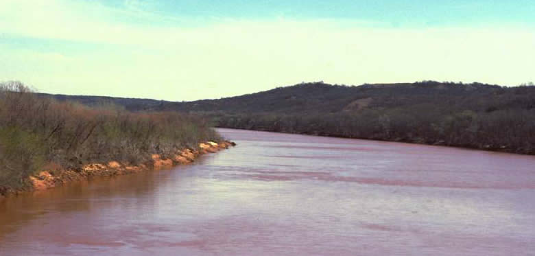
Red River near Denison, Texas just west of (upstream
from) the Caddo Homeland. Today the flow of this part of the river
is controlled by the dam at Lake Texoma. In times past, Red
River floods periodically ruined the crops of Caddo farmers who farmed
along the fertile low-lying terraces. Photograph by Dee Ann Story.
Within the Caddo Homeland, the westernmost section of the Red River Valley cuts through the Cross Timbers and associated Grand View and Blackland prairies. All of the major Caddo centers lie east of (downstream from) the Cross Timbers, a biogeographical and cultural boundary. Caddo hunting parties ranged well to the west into the prairie-plains in search of deer and bison, particularly after horses became available in the late 1600s.
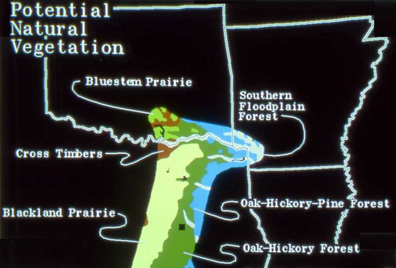
Potential (climax) natural vegetation communities
along western edge of Caddo Homeland. All of the major Caddo sites lie
east of the Cross Timbers. Graphic by Jami Lockhart, courtesy Arkansas
Archeological Survey.