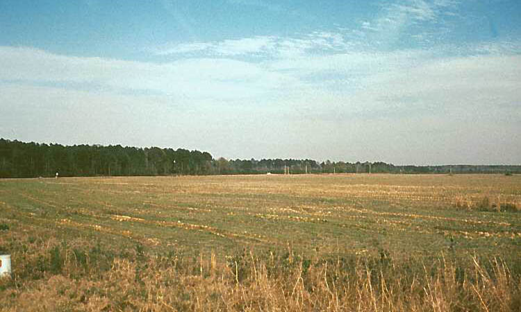
Ouachita river valley near the Hardman salt-making
site on Saline Bayou, Clark County, Arkansas. View looking east away from
the river toward forested upland areas visible in the distance. Today
the valley has been cleared for agriculture. In late prehistoric times,
it would have been a patchwork of forest and small fields and openings
cleared by the Caddo and probably kept open by burning. Photo courtesy
Arkansas Archeological Survey, negative #6329-HSU.
The valleys of the Ouachita and Saline rivers and their tributaries were home to the easternmost Caddo groups. Just south of the mountains, the Ouachita River is joined by various tributaries including the Little Missouri and Caddo rivers as well as by Saline Bayou. As the names Saline Bayou and Saline River suggest, natural salt seeps occur in this area and were the source of salt, a critical nutrient and valued trading commodity. Late Caddo peoples established small-scale salt-making communities such as the Hardman site along Saline Bayou.

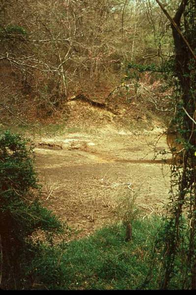
Saline Bayou upstream from its confluence with the
Ouachita River, Clark County Arkansas. Prehistoric Caddo salt-making sites
line the Bayou, including Bayou Sel and the Hardman Site. Photo courtesy
Arkansas Archeological Survey, catalogue #6315-HSU.