Explore Bonfire |
||||||||
|
In this section you can explore Bonfire Shelter by looking at a variety of photographs and drawings showing different views of the shelter and its deposits and different moments in the archeological investigations. You might want to spend a few minutes learning your way around Bonfire Shelter and then come back to this section later after you've visited other sections of the exhibit. And don't miss the Tour of Mile Canyon in The Land and Its Caretakers section. 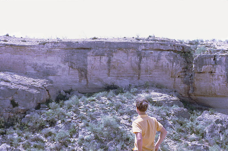
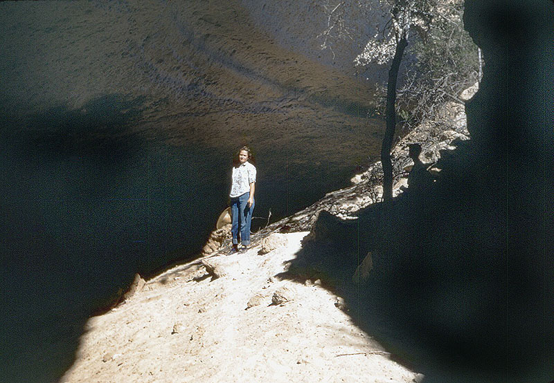
Hugh Davis studies Bonfire Shelter from opposite
canyon wall, 1967. Photo by Mott Davis.
Click images to enlarge |
|
||||||
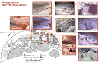
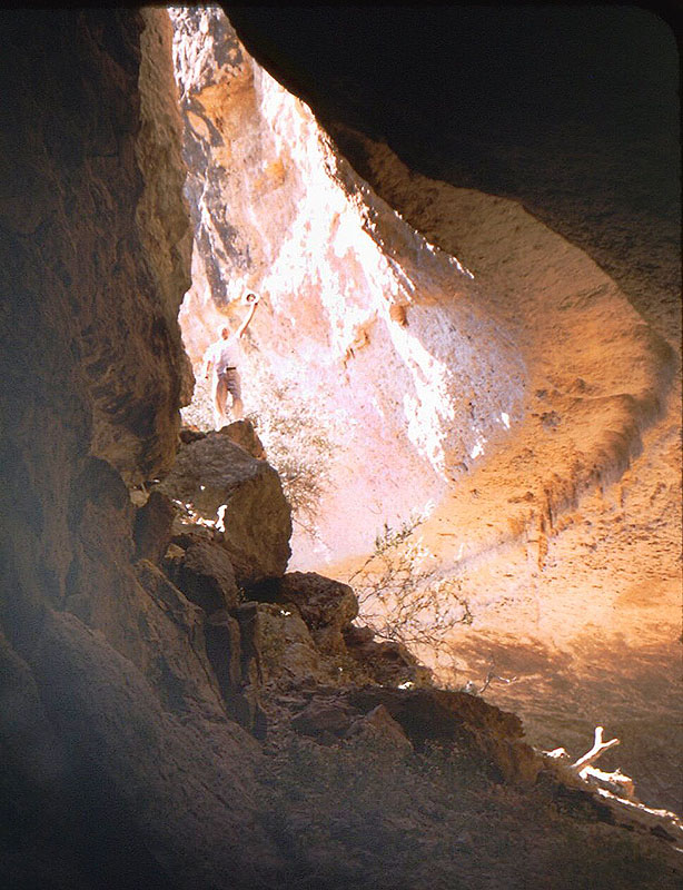
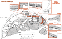
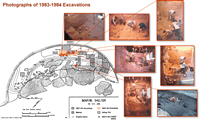
Earliest PhotographsThese two photographs (at left and right) were taken in 1953 by Jack and Wilmuth Skiles. At the time they had no idea that "Ice Box Cave" contained important archeological deposits. But it was a fun place for a family outing, a cool place to get out of the hot sun. Profile DrawingsThe site plan map from the 1968 report is linked to the 7 profile drawings that appeared in the original report. Studying these will give you a good feel for how the deposits within Bonfire Shelter are arranged. Keep in mind that all of the profiles are oriented as they were seen and drawn by the archeologists sitting in the excavation units looking up at the excavation walls. Use the lines connecting the corners of the profile drawings with the excavation walls and the grid direction arrows to help you orient yourself. Note that the site grid is not aligned to magnetic north-south, but is instead oriented along the long axis of the shelter (magnetic North-Northeast to South-Southwest). This was done to make it easier for the archeologists. So, pay attention to grid directions, rather than magnetic ones. The maps and the profiles shown here were based on field illustrations drawn by Dave Dibble, Elton Prewitt, and others. They were drafted for the report by Vaughn M. Bryant, then a young graduate student at UT Austin, now Professor of Anthropology at Texas A&M. Photographs of 1963-1964 ExcavationsThe red symbols on the site plan map are linked to 10 pictures taken during the 1963-64 excavations. Each symbol shows the approximate location from where the linked picture was taken and the general orientation. Use these to guide your tour of the 1963-64 work. Photographs of 1983-1984 ExcavationsThe red symbols on the site plan map are linked to 7 pictures taken during the 1983-84 excavations. Each symbol shows the approximate location from where the linked picture was taken and the general orientation. Use these to guide your tour of the 1983-84 work. |
||||||||
|
Explore
Bonfire Main | Profile Drawings
| Photographs of 1963-1964 Excavations
| Photographs of 1983-1984 Excavations |
||||||||