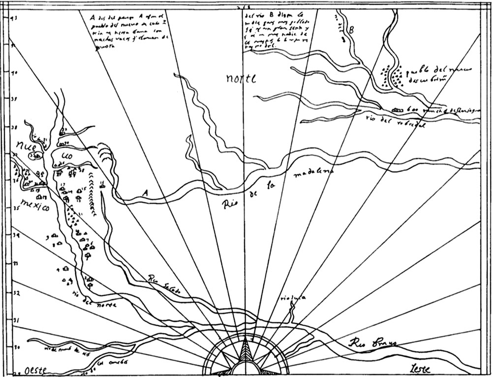
Map drawn ca. 1602 by the Spanish cartographer Enrico Martinez depicting the general area of Texas, New Mexico, and southern Oklahoma based on information obtained from Onate’s explorations of those lands. In the left and lower left the map shows New Mexico, the Rio Grande (called the "rio del norte" and "Rio Bravo"), the Pecos River ("Rio Salado"), the Conchos River in northern Mexico, and Onate's travel path from Santa Fe to large villages in the Great Plains. Note how the Pecos is incorrectly shown to parallel the Rio Grande and to join it far upriver from where it actually does. Traced from facsimile of the orginal. From Kenmotsu and Wade 2002, Figure 11.