|
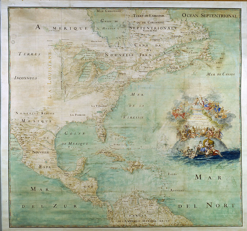
| Early French map showing three forts built between 1679 and 1680: ôConty fort (or Fort Niagra, near Niagara Falls), Miamis Fort (south of Lake Michigan), and Cr×vec£ur fort (left bank of the Illinois River). The Mississippi River (or Colbert) is only shown upstream of its confluence with the Ohio. Carte de lÆAmerique Septentrionale, by Claude Bernou, edited 1681, courtesy Wikipedia |