X Back
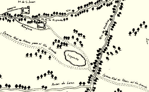
The dotted lines on this map show the Camino Real (Royal Road) and crossings on the
Medina River just southwest of San Antonio. Spanish explorers and missionaries traveled on this
important transportation and commerce corridor stretching from San Antonio to points along the Rio Grande
River. Drawn in 1764 by Menchaca, the map
illustrates the locations of the missions in the San Antonio area, in the province of Texas. Mapa del
Presidio de San Antonio de Bexar, courtesy John Carter Brown Library, Brown University.
X Back