|
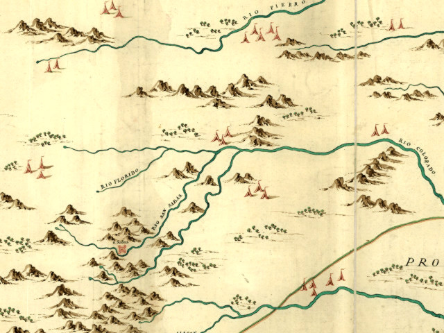
| Encampments of native peoples and Spanish missions are depicted on this detail from a 1769 map of the northern Spanish frontier. The map was executed by Jose de Urrutia who traveled with expeditions throughout the provinces. Click to see larger versions. Visit the Library of Congress American Memory site to explore “Mapa, que comprende la Frontera, de los Dominios del Rey, en la America Septentrional.” |