|
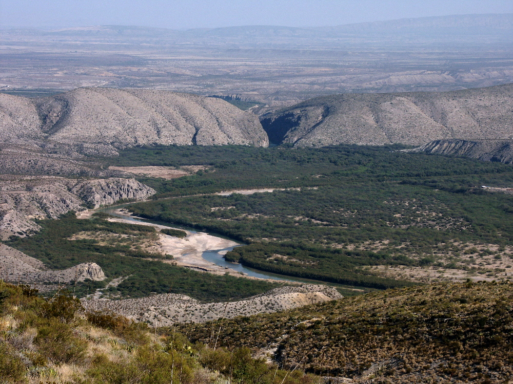
| The lower Río Conchos valley undoubtedly contains many La Junta sites, but only a few have even been visited by archeologists. This scene shows a likely settlement area, a large pocket of alluvial floodplain that occurs along the Conchos some 20 miles upstream from Ojinaga (which lies in the background to the left of the picture). The photo was taken from the Sierra El Pequis, which is part of Sierra Grande, an imposing set of parallel mountain ranges rough and steep enough to force the Spanish to bypass while traveling along the Río Conchos to and from La Junta. Photo by Steve Black. |