|
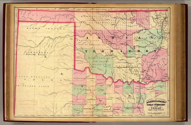
| Map of Indian Territory
and Texas, northwest portion. From Asher and Adam's New Commercial, Topographical,
and Statistical Atlas and Gazateer of the Unites States, 1874. New York.
See David Rumsey Collection: http://www.davidrumsey.com/. |