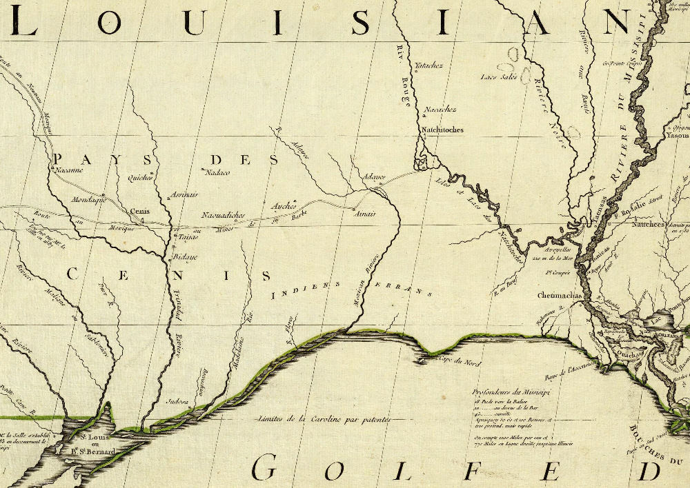
This section of a 1756 hand-colored version of a 1755 map by British cartographer John Mitchell shows the location of “Ayches” just north of an east-west road, the Camino Real de los Tejas. See
John Mitchell 1756
to learn more about this map
Close Window