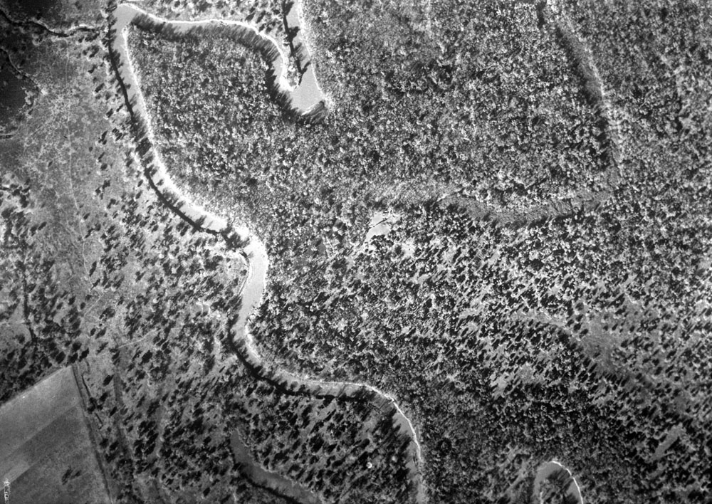
Aerial view of the Morhiss Mound area and surrounding Guadalupe River floodplain taken on December 15, 1938, early in the WPA excavations. The site is the cleared area in the center of the photograph. A mostly filled-in relict (old) channel of the Guadalupe River can be seen curving around the Morhiss site. The age of this channel is unknown.
The tree-free band just north of the site and curving to the right appears to have been an oxbow lake that may have still held water within the past century. This uncertainty points out the potential of a modern geoarcheological evaluation of the area. Where was the river in prehistoric times when the site was an active campsite? Photograph by Kargl Aerial Surveys of San Antonio. TARL Archives.Close-up view of immediate site area.